


Mauritius Guide › Hiking › Bambous Mountain
Bambous Mountain
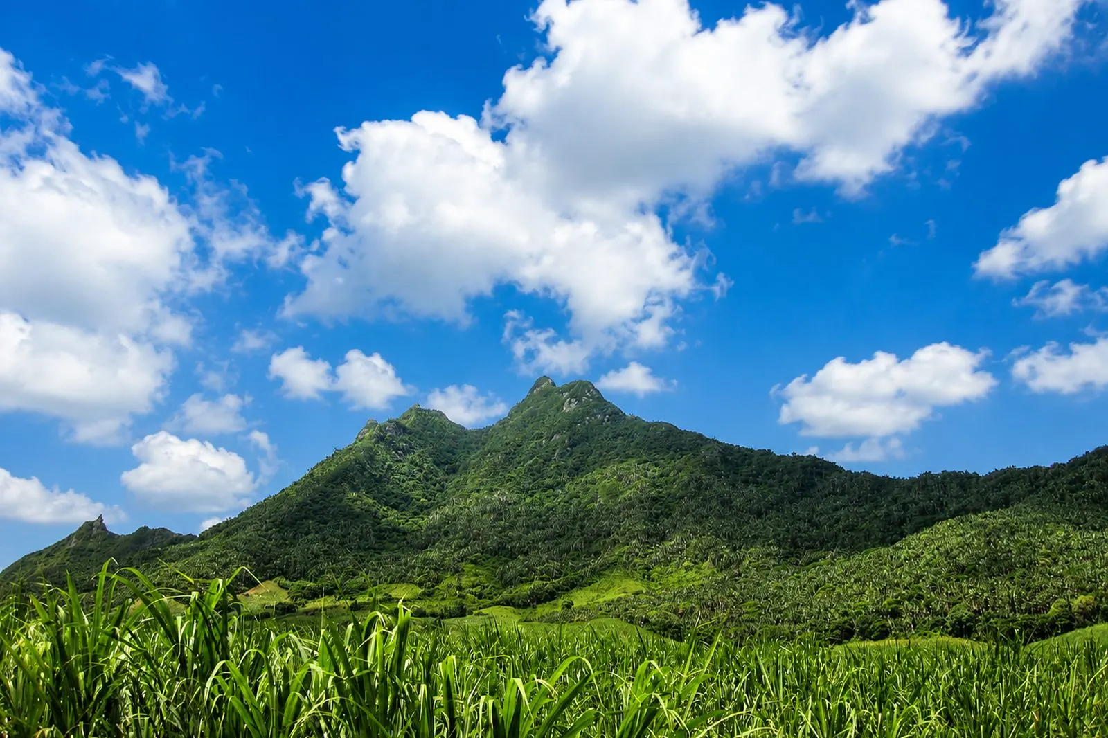
Eight kilometres, 425 metres of ascent, no waymarking and rock to negotiate: the most striking summit on the east coast has to be earned.
Hike · Flacq · Unmarked
What makes Bambous Mountain demanding?
This is the big hike of the east coast, and it asks two things the others do not demand to the same degree: being able to navigate, and being able to scramble a little.
The path is unmarked, which makes a GPS track close to indispensable. Several sections are taken with hands on rock, and they become genuinely risky on wet rock.
Allow eight kilometres and 425 metres of ascent, so three hours to three and a half. The summit opens a 360-degree view: the east coast lagoon on one side, the whole interior of the island on the other.
In this guide
The route
An approach through the cane fields, then a wooded climb that comes out on rock steps up to the ridge.
The start
On the Belle Rive side, in the district of Flacq. Parking is at the roadside: no car park, no signage.
The cane fields
Navigation already matters here. The farm tracks all look alike and no sign points to the path.
The wooded climb
The path pushes into the vegetation before reaching the rocky part. The gradient stiffens progressively.
The steps and the ridge
Short but demanding sections give access to the ridge, and to the 360-degree panorama over the east and the interior.
Access and parking
Getting to the trailhead
Access is from Belle Rive, in the district of Flacq, across the cane fields that climb towards the foot of the range.
See the trailhead →Parking
At the roadside, with no facilities and no signage. The start of the path is found with a GPS track rather than by eye.
When to go
Best season
May to November — the austral winter gives dry rock and the visibility that gives the panorama its point.
Best time of day
Early morning — to keep a margin in case of a navigation error.
Avoid
Any wet rock — the steps become dangerous as soon as they are wet.
What else to do around Bambous Mountain
Frequently asked questions
Frequently asked questions
Yes. Eight kilometres for 425 metres of ascent, with no waymarking and rock sections to negotiate. Allow three hours to three and a half.
It is strongly recommended. The path is unmarked and the farm tracks at the start look very much alike.
The start is taken on the Belle Rive side, in the district of Flacq, across the cane fields.
It is not advisable. The rock sections become dangerous on wet rock.
Sources and checks
Checked on 2 September 2026. Opening times, fees and access conditions change: confirm them before you set off.
Your project in Mauritius
Thinking of moving to Mauritius?
Westimmo does more than help you find a property. We help you understand the regions, choose where to live and prepare your move to Mauritius.
Talk to us about your project