


Mauritius Guide › Hiking › Black River Peak
Black River Peak
828 metres, the island's highest point — yet only 150 metres of climbing, on a path shaded for almost four kilometres.
Hike · National Park · 828 m
Is the highest point hard to reach?
Less than you would think. The path already starts high, on the plateau at around 680 metres, leaving only some 150 metres of climbing to the 828-metre summit.
What makes the outing demanding is not the gradient but the ground — roots, mud that lingers long after rain, and a few fixed ropes in the final metres.
Allow 3 to 4 hours round trip for 6.4 km, with no guide and no entry fee: the path is clearly marked with paint on the rocks.
In this guide
The route
A shaded forest path for almost four kilometres, then a short rock climb to the roof of the island.
Into the park forest
The path enters the forest on a steady, shaded track. A detail most guides miss: the route is in shade for nearly 4 km, and only the last two hundred metres are in full sun.
The native species
Ebony trees, bois de natte, and overhead the calls of the echo parakeet, a bird saved from extinction by a hair's breadth.
Steps and mud
The path climbs in stages and crosses boggy sections that never quite dry out.
The final climb
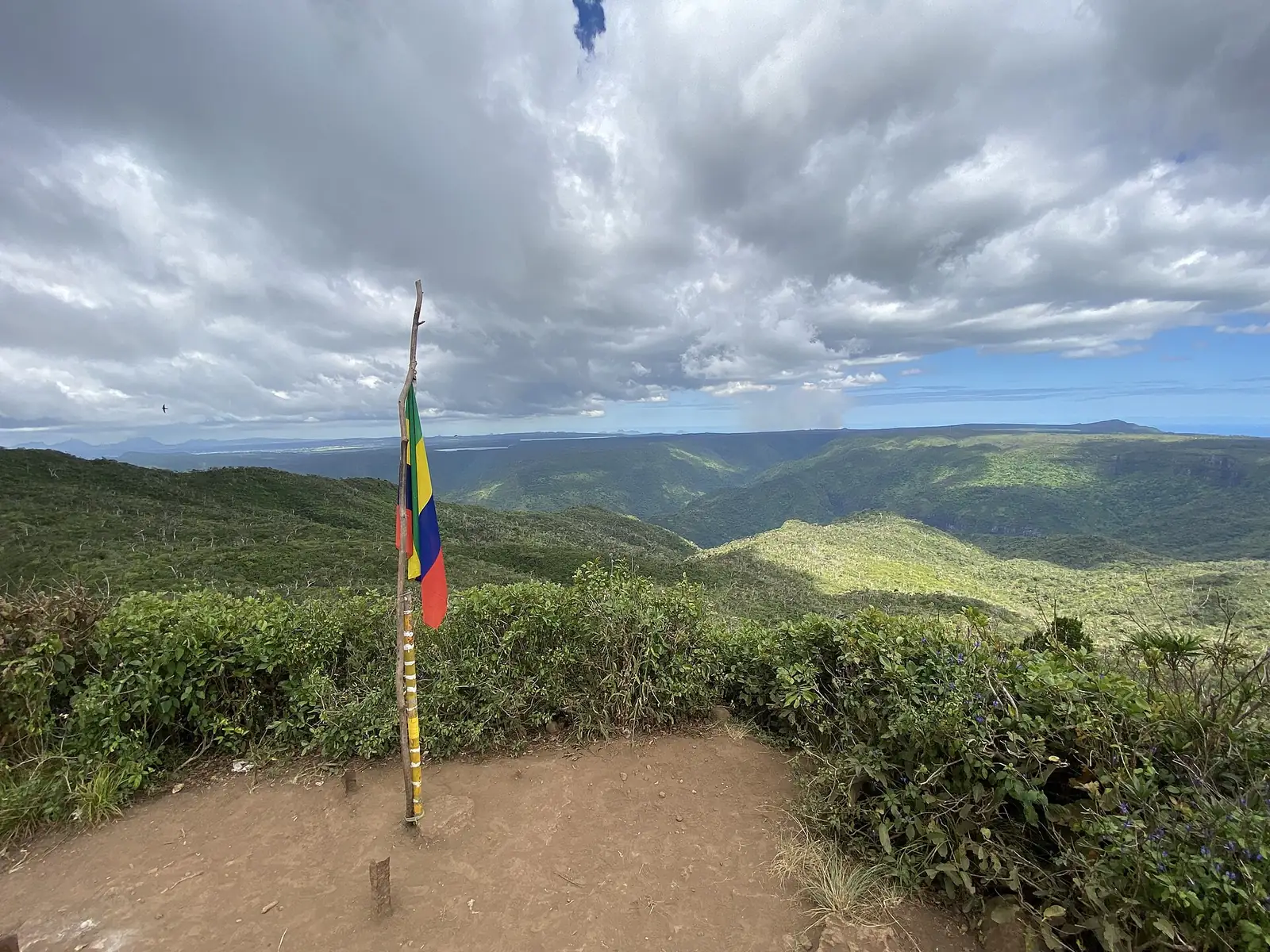
The ground steepens and fixed ropes help on the rock. At the top the whole west coast opens up, from Le Morne to Flic en Flac, gorges on one side and lagoon on the other.
Access and parking
Getting to the trailhead
The trailhead is on the B103 road, on the plateau: coordinates -20.42336 / 57.42628. Free and open access. The path forms part of the Black River Gorges National Park network, whose gates close at 5 pm.
See the trailhead →Parking
This is the real weak point: only two or three cars fit at the trailhead. Arrive early or expect to park a good distance away.
When to go
Best season
May to November — in the dry season the outing is genuinely pleasant, all the more so as the shade keeps the heat off.
Timing
Before the park closes — the national park gates shut at 5 pm.
Avoid
After several days of rain — the path turns into a skating rink in places and the final ropes are far less pleasant.
What else to do around the peak
Frequently asked questions
Frequently asked questions
Black River Peak, 828 metres, in the Black River Gorges National Park. Pieter Both (820 m) and Le Pouce (812 m) follow.
3 to 4 hours round trip for 6.4 km. The actual ascent is modest, about 150 metres, as the path already starts at 680 metres.
No. The path is clearly marked and access is free. Good footwear, on the other hand, is essential: the ground is often muddy.
Yes, for nearly 4 km. Only the last two hundred metres are in full sun, which is rare in Mauritius.
Sources and checks
Checked on 2 September 2026. Opening times, fees and access conditions change: confirm them before you set off.
Your project in Mauritius
Thinking of moving to Mauritius?
Westimmo does more than help you find a property. We help you understand the regions, choose where to live and prepare your move to Mauritius.
Talk to us about your project