


Mauritius Guide › Hiking › Montagne du Rempart
Montagne du Rempart
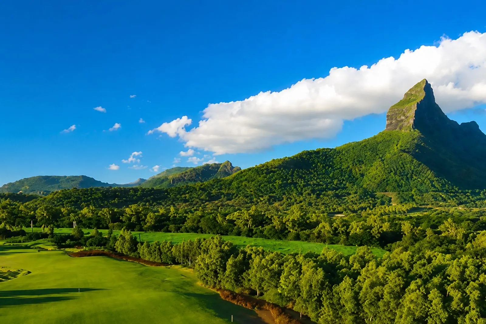
The most photogenic cone on the island is climbed on cable ladders, on private land and with permission. It is not a hike.
Mountaineering · Black River · 600 m
A mountaineering route, not a hike
Let us say it plainly: Montagne du Rempart has no place in a list of hikes, and we would rather write that than line it up alongside the other guides here.
Mountain route databases classify it as mountaineering. The route combines a walk-in followed by a climbing section equipped with cable ladders and a cable bridge, with drops on either side and few opportunities to protect yourself.
The land is private and crosses a hunting reserve among other things. Going up without permission means entering someone's property — and doing so without competent supervision means taking a risk that bears no relation to the other summits on the island.
In this guide
The route
A walk-in across private land, then an equipped section that belongs to climbing rather than walking.
The walk-in
It starts from the plain, on the Black River side, and reaches the foot of the cone across private farmland. There is no public path.
The foot of the cone
This is where the nature of the route changes. The gradient rears up and the ground stops being walkable.
The equipped section
Cable ladders and a cable bridge, installed by climbers, get past the steps. These are mountain installations, not tourist facilities.
The summit
At 600 metres, one of the most open views in the west. It is earned in conditions that have nothing in common with the rest of this guide.
Access and parking
Getting to the trailhead
There is no free access. The mountain sits on private land and an ascent requires prior permission as well as supervision by a competent operator.
Parking
No public parking is provided, since there is no free access. The practical arrangements are handled by whoever supervises the climb.
When to go
Best season
May to November — once permission is obtained, the austral winter gives the driest rock.
Organisation
To arrange in advance — permission and supervision are settled before the question of weather arises.
Avoid
Damp conditions — they make the equipped section considerably more delicate.
Around Montagne du Rempart
Frequently asked questions
Frequently asked questions
No. The mountain sits on private land and the ascent requires prior permission as well as supervision.
No. The route is classified as mountaineering: it includes a climbing section equipped with cable ladders and a cable bridge, with drops on either side.
The summit is listed at 600 metres in mountain route databases.
Yes, and that is what most visitors do. Its almost pyramidal silhouette is best appreciated from the Tamarin road.
Sources and checks
Checked on 2 September 2026. Opening times, fees and access conditions change: confirm them before you set off.
Your project in Mauritius
Thinking of moving to Mauritius?
Westimmo does more than help you find a property. We help you understand the regions, choose where to live and prepare your move to Mauritius.
Talk to us about your project