


Mauritius Guide › Hiking › Le Pouce
Le Pouce
The island's third summit, 3.8 km round trip and a 360° panorama over Port Louis: the best first hike in Mauritius.
Hike · Moka Range · 812 m
Who it suits, and how long it takes
This is the hike we recommend to anyone who has never walked in Mauritius. Two to three hours round trip, 3.8 km, on a path waymarked with blue and white marks on posts and trees — a rarity on an island where most trails carry no markings at all.
No guide needed, no entry fee. The only passage calling for care is the short rock step below the “thumb” itself.
Children who are used to walking, from around 8 to 10 years old, manage it without trouble.
In this guide
The route
Meadows, a steady climb to the col, then a short rock step beneath the thumb itself.
The start
From the Saint-Pierre side, the path first crosses meadows and scrub on the flat before tackling the slope.
Up to the col
A steady gradient, reliable waymarking, a well-trodden path. You reach the col in under an hour, already looking down over the central plateau.
The final step
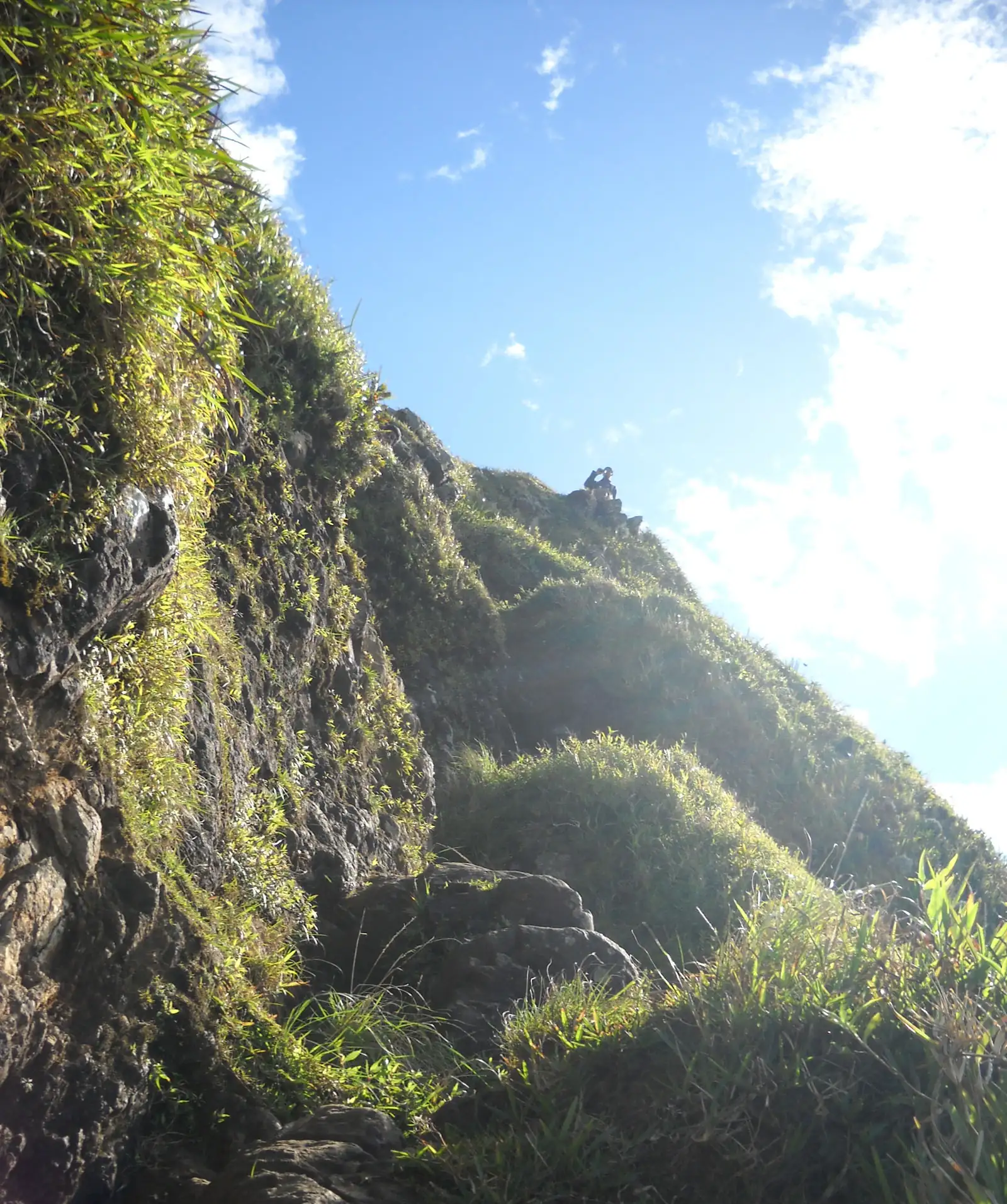
The distinctive raised thumb stands out above. The last step is climbed using your hands over a few metres — nothing technical, but closed shoes are advisable.
The summit
Narrow, with a complete panorama: Port Louis and its harbour below, the Moka range, Pieter Both alongside, and on a clear day the whole north coast. Charles Darwin climbed here in 1836.
Access and parking
Getting to the trailhead
The most practical trailhead is above Saint-Pierre: coordinates -20.20774 / 57.52706. A longer variant climbs from Port Louis but adds considerably to the walk. Open access, free, all year round.
See the trailhead →Parking
Parking is limited: sources vary between a handful of spaces and a larger area depending on exactly where you stop. Come early, especially at weekends.
When to go
Best season
All year — with a clear advantage to the austral winter, May to November, for cooler air and better visibility.
Best time of day
Morning — the path is largely exposed and the summit windswept.
Avoid
Rainy days — the earth on the slope becomes very slippery.
What else to do around Le Pouce
Frequently asked questions
Frequently asked questions
Easy to moderate. 3.8 km round trip, a waymarked path and a short rock step at the summit. It is the ideal first outing in Mauritius.
No. The path is waymarked with blue and white marks and access is free and open.
812 metres, making it the island's third summit after Black River Peak (828 m) and Pieter Both (820 m).
Yes, for children used to walking, from around 8 to 10 years old.
Sources and checks
Checked on 2 September 2026. Opening times, fees and access conditions change: confirm them before you set off.
Your project in Mauritius
Thinking of moving to Mauritius?
Westimmo does more than help you find a property. We help you understand the regions, choose where to live and prepare your move to Mauritius.
Talk to us about your project