


About 780 mm of rain a year in the West (Médine station), against about 2,000 mm on the central plateau (Vacoas), 1971-2000 averages
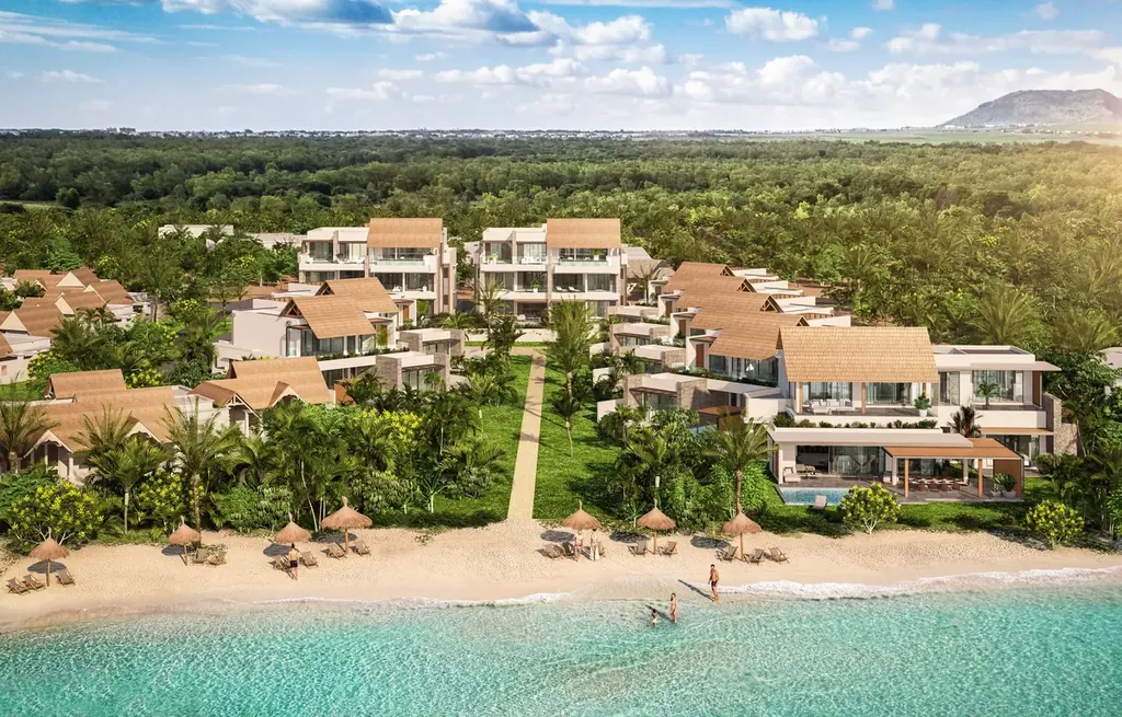
Mauritius Guide
Where to live in Mauritius:
the four coasts and their neighbourhoods
North, West, East, South and the central plateau: the profile, access, schools, climate and properties of each area.
A coast is chosen on four criteria: the children’s school, the workplace, the rain and how much you rely on a car. This guide compares them area by area, then neighbourhood by neighbourhood, with the site’s “Living in…” articles for the detail.
Choose your coast,
then your neighbourhood
then your neighbourhood
Key points
The essentials for choosing, backed by dated official figures.
The central plateau is the only area where a child can complete their whole schooling locally, in French as well as in an international programme
North and West: no French lycée and no metro, but a full international schooling up to the International Baccalaureate
There is no official ranking of the coasts by cyclone risk: water has to be assessed plot by plot, not village by village
01 The overview
Four coasts and a plateau at a glance
Each area has its own climate, schools and properties: the table sets them side by side.
| Area | Profile | Rain per year | Reliance on a car | Properties the area offers |
|---|---|---|---|---|
| North | Lively seaside resort at Grand Baie, residential villages around it | About 1,350 mm at Pamplemousses | Essential outside the centre of Grand Baie | Villas, apartments, new programmes, the new town of Beau Plan |
| West | Leeward coast, the driest on the island | About 780 mm at Médine | Essential: few services in the villages | Villas, apartments, the Smart Cities of Tamarin and Médine, the Tamarina golf estate |
| East | Fishing villages and golf estates, very windy | About 1,960 mm at Fuel | Essential for Flacq and its services | Beachfront villas, the Anahita golf estate |
| South | Mahébourg and Pointe d’Esny in the south-east, Le Morne and Bel Ombre in the south-west | About 1,720 mm at Plaisance | Essential, with long distances | Estate villas, IRS luxury properties at Le Morne, villas and R+2 apartments at La Gaulette |
| Central plateau | Dense, cool and rainy towns | About 2,000 mm at Vacoas | Optional near a metro station | Apartments and houses in town |
Climate is read through rainfall
Between the West and the centre, two and a half times more rain falls. Temperatures follow: an average maximum of 28.3 °C in the West, 25.0 °C on the plateau.
The coast does not tell you the neighbourhood
Under the name “Grand Baie”, four neighbourhoods have very different profiles and budgets. The guide describes them in detail further down.
One zone page per area
The properties in each area can be viewed on the site’s zone pages, which are kept up to date: this guide never gives a figure for the current stock.
02 Before you choose
Five criteria for choosing your area
In this order: school, work, climate, car, type of property.
- School first. This is the criterion that rules out the most areas. Only the central plateau offers the whole schooling locally; the North and the West go up to the International Baccalaureate, the East only up to primary level.
- Then the workplace. Port-Louis and its offices can be reached by metro from the central plateau. From the coasts there is no metro: you make the trip by car or bus, and rush hours have to be endured.
- Rain and wind. The West and the North receive the least rain. The East, exposed to the south-east trade winds, is the windiest coast: at Poste Lafayette, gusts reach 15-25 knots from May to October.
- The car, or the village on foot. Outside the centres of Grand Baie and Flic en Flac and the towns of the plateau, everything is done by car. No seaside village replaces a supermarket ten minutes away.
- The type of property. Golf estate, Smart City, village villa, apartment in town: each type of property follows a specific purchase regime. Westimmo checks with you that it is open to your profile before any offer.
03 North coast
The north coast: Grand Baie and its neighbours
The North concentrates services and public beaches. It requires a car as soon as you leave the centre of Grand Baie.
See the Grand Baie zone page →Grand Baie, four neighbourhoods
La Croisette surrounds the largest shopping centre in the North, a mixed-use project. La Salette is a gated residential enclave. Sottise, inland, is more affordable. Pointe aux Canonniers, 4 kilometres west of the centre, is the upmarket waterfront. Read the detail by neighbourhood.
Pereybère or Grand Baie: the everyday match-up
The two are next to each other, but their pace differs. Our comparison sets out the differences in services, noise and budget. To live without a car in Grand Baie, the test shows what really holds up.
Trou aux Biches and Mont Choisy
A former fishing village turned coast of public beaches and residences. Life here is less commercial than in Grand Baie, with a northern climate drier than that of the centre; the car is used for major shopping, specialist care and school. Living in Trou aux Biches and Mont Choisy.
Pointe aux Piments and Balaclava
A residential coast between Port-Louis and Grand Baie: 7,488 inhabitants at the 2022 census, sheltered beaches and, on the Balaclava side, a marine park a few minutes away. Living in Pointe aux Piments and Balaclava.
Cap Malheureux
The far north has 5,740 inhabitants (2022 census). Everyday life takes place at Grand Baie, about ten minutes away by car according to the guides; in return, a fishing village still inhabited all year round and the view of Coin de Mire. Living in Cap Malheureux.
Beau Plan, the new town
At Pamplemousses, on former sugar cane fields, a new neighbourhood with a supermarket, bank, pharmacy and school, less than twenty minutes from Port-Louis, but without the sea within walking distance. The project is not finished. Living in Beau Plan.
Zone pages for the North: Grand Baie, Pereybère, Trou aux Biches, Mont Choisy, Calodyne.
04 West coast
The west coast: the driest on the island
From Flic en Flac to Rivière Noire, the leeward coast has the most sunshine and is being built up quickly.
See the Flic en Flac zone page →Flic en Flac
A seaside resort where the car remains essential and where noise depends on the address. The village has 3,917 inhabitants at the 2022 census; the public beach stretches for about 8 kilometres. Living in Flic en Flac.
Albion
Almost nothing on site: no supermarket and no school, and a car for every purchase. In return, one of the few stretches of coast spared by mass tourism, with its lighthouse and cliffs. Living in Albion.
Cascavelle and Médine
The heart of the Medine group’s Smart City: shopping centre, private hospital, schools, campus and offices within a few minutes, at the price of building sites and junction traffic. Living in Cascavelle and Médine.
Tamarin or Rivière Noire
Tamarin is lively, geared towards surfing, and is growing with its Smart City. Rivière Noire is quieter, around the marina and nature. The West match-up sets out the logistics of each.
La Preneuse
A strip of coast in the village of Rivière Noire, with no commercial centre: groceries, doctor and school are in Tamarin or Cascavelle. In return, a quiet beach and a calmer daily life. Living in La Preneuse.
Tamarina, the golf estate
An estate organised around a golf course, for those who want a protected setting rather than a village. Living in Tamarina.
Zone pages for the West: Flic en Flac, Tamarin, Rivière Noire.
05 East coast
The east coast: lagoon, wind and the car
Wetter and windier, the East keeps its villages and golf estates far from the main centres.
See the Belle Mare zone page →Belle Mare
You accept a daily dependence on the car to reach the amenities of Flacq, in exchange for the longest white-sand beach on the island and unspoilt lagoons. Long-established luxury hotels on one side, Mauritian villages on the other. Living in Belle Mare.
Poste Lafayette
A fishing village in the Flacq district, south of Roches Noires, where the wind blows from the south-east most of the year. It still offers beachfront land, near the Bras d’Eau national park. Living in Poste Lafayette.
Anahita
The golf estate of the east coast, for those who prefer a gated setting to a village. Living in Anahita.
What the East implies
Few schools: the international primary class at Beau Champ is the only schooling on site that we found, and only for the youngest children. Families with teenagers send them to school further away.
Zone pages for the East: Belle Mare, Roches Noires.
06 South coast
The south coast: estates, lagoons and villages
The South-East lives around Mahébourg; the South-West, around Le Morne mountain and the Bel Ombre estate.
See the Bel Ombre zone page →Pointe d’Esny and Mahébourg
Two atmospheres five minutes apart by road: Pointe d’Esny, residential, beside a preserved lagoon; Mahébourg, which concentrates commercial, historical and administrative life. You sleep in the first, you live in the second. Living in Pointe d’Esny and Mahébourg.
Le Morne and La Gaulette
Le Morne is a locked-up micro-market, dominated by luxury IRS-type estates. La Gaulette, the neighbouring village, offers residential villas and more affordable R+2 apartments: it is the fallback market. Property in Le Morne and La Gaulette.
Heritage Bel Ombre
A gated estate, not a neighbourhood: two golf courses, four hotels and a nature reserve, a good distance from the airport and more than an hour from the main shopping and school hubs of the centre. Living in Heritage Bel Ombre.
Zone pages for the South: Bel Ombre, Le Morne and La Gaulette.
07 Central plateau
The central plateau: town life, the metro, the cool air
Quatre Bornes, Rose Hill, Curepipe, Floréal, Moka: you live in town here, with complete schooling and the metro.
See the Quatre Bornes zone page →Quatre Bornes and Rose Hill
A dense, busy town lived at the pace of the metro: about 160,000 inhabitants across the two towns at the 2022 census, a public hospital at Candos, several secondary schools and a Metro Express station in each town. No beach within walking distance. Living in Quatre Bornes and Rose Hill.
Curepipe and Floréal
At an altitude of 549 metres, Curepipe is markedly cooler and rainier than the coast: in July, an average maximum of 21.8 °C at Vacoas against 25.8 °C at Médine. In return, a town of more than 70,000 inhabitants with a market, a bus station and a metro station. Living in Curepipe and Floréal.
Ébène or Moka
To work in Port-Louis or in the Ébène offices, the choice lies between two neighbouring hubs. Ébène or Moka: where to rent compares the two.
Quatre Bornes and Beau Bassin, zone pages
Westimmo has two dedicated area guides, Quatre Bornes and Beau Bassin, with the new programmes of each town.
Zone pages for the plateau: Quatre Bornes, Beau Bassin.
08 Climate and risks
Cyclones, rain and humidity: what changes from one coast to another
Rainfall varies by a factor of one to two and a half depending on the coast. Humidity hardly varies at all.
| Region (station) | Rain per year | Rainy days per year | Average humidity | Average maximum |
|---|---|---|---|---|
| West (Médine) | About 780 mm | About 64 | 78% | 28.3 °C |
| North (Pamplemousses) | About 1,350 mm | About 148 | 81% | 28.7 °C |
| East (Fuel) | About 1,960 mm | About 173 | 83% | 26.4 °C |
| South (Plaisance) | About 1,720 mm | About 166 | 80% | 27.1 °C |
| Centre (Vacoas) | About 2,000 mm | About 179 | 83% | 25.0 °C |
Humidity varies little
Five points separate the driest station (Médine, 78%) from the most humid (Vacoas, 83%). “Drier” in the West and the North mainly means less rain and more sunshine.
A cyclone is first of all about water
In January 2024, Belal passes at a distance, but the island is on a class IV alert: in Port-Louis, vehicles are swept along by floods. The risk breaks down into wind, rain and sea. Our article details each threat.
No official ranking of the coasts
The meteorological service does not rank the coasts by exposure. Water accumulation sites have been identified across the island: ask the Land Drainage Authority whether the plot you have in mind is affected. Before buying, look at the plot: altitude, drainage, distance from the shoreline.
09 Schools and healthcare
Schools and healthcare: what each area offers on site
Survey of 17 September 2026: to be confirmed before any enrolment or lease.
Read the schooling guide →| Area | Schooling on site | Emergency care | Metro to Port-Louis |
|---|---|---|---|
| Central plateau | French (Curepipe, Helvetia) and international programme up to the International Baccalaureate (Moka) | C-Care Wellkin (Moka) and C-Care Darné (Floréal), with maternity and paediatrics; Victoria public hospital (Candos) | Yes |
| North | International programme up to the International Baccalaureate (Mapou); French up to secondary school (Mapou) | C-Care Grand Baie (Mont Choisy), 24 hours a day; SSRN public hospital (Pamplemousses) | No |
| West | English up to the International Baccalaureate (Tamarin then Cascavelle); French up to primary level (Tamarin) | C-Care Tamarin (La Mivoie), 7 days a week; Yves Cantin community hospital (Rivière Noire) | No |
| East | Early primary classes in the IB programme (Beau Champ) | Sir Anerood Jugnauth public hospital (Flacq) | No |
11 Related guides
To go further
The site’s reference guides, to read once you have chosen your coast.
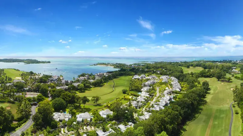 Schooling in MauritiusFrench and international schools, start of the school year, cost→
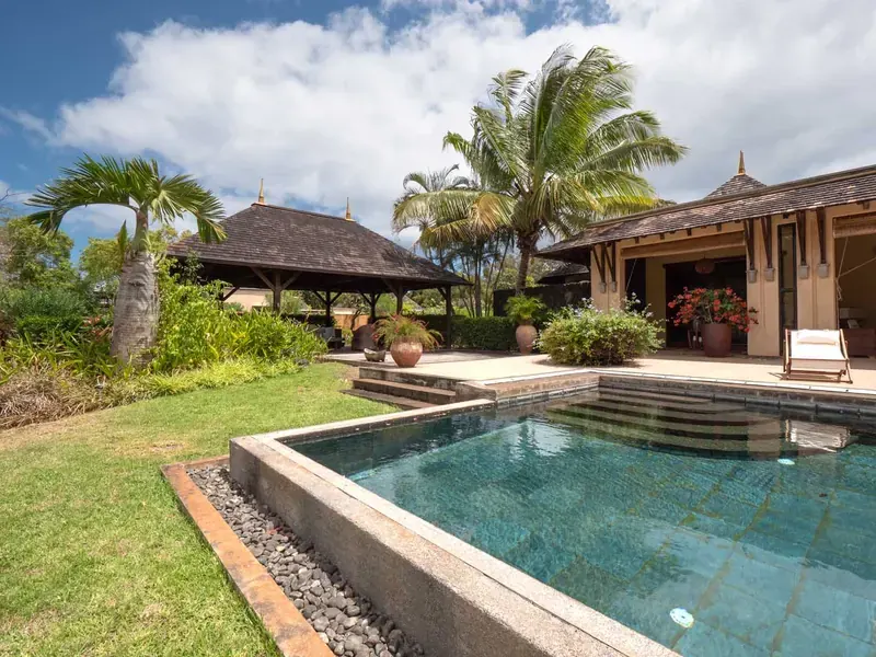 The real risk from cyclonesWind, rain, sea and property→
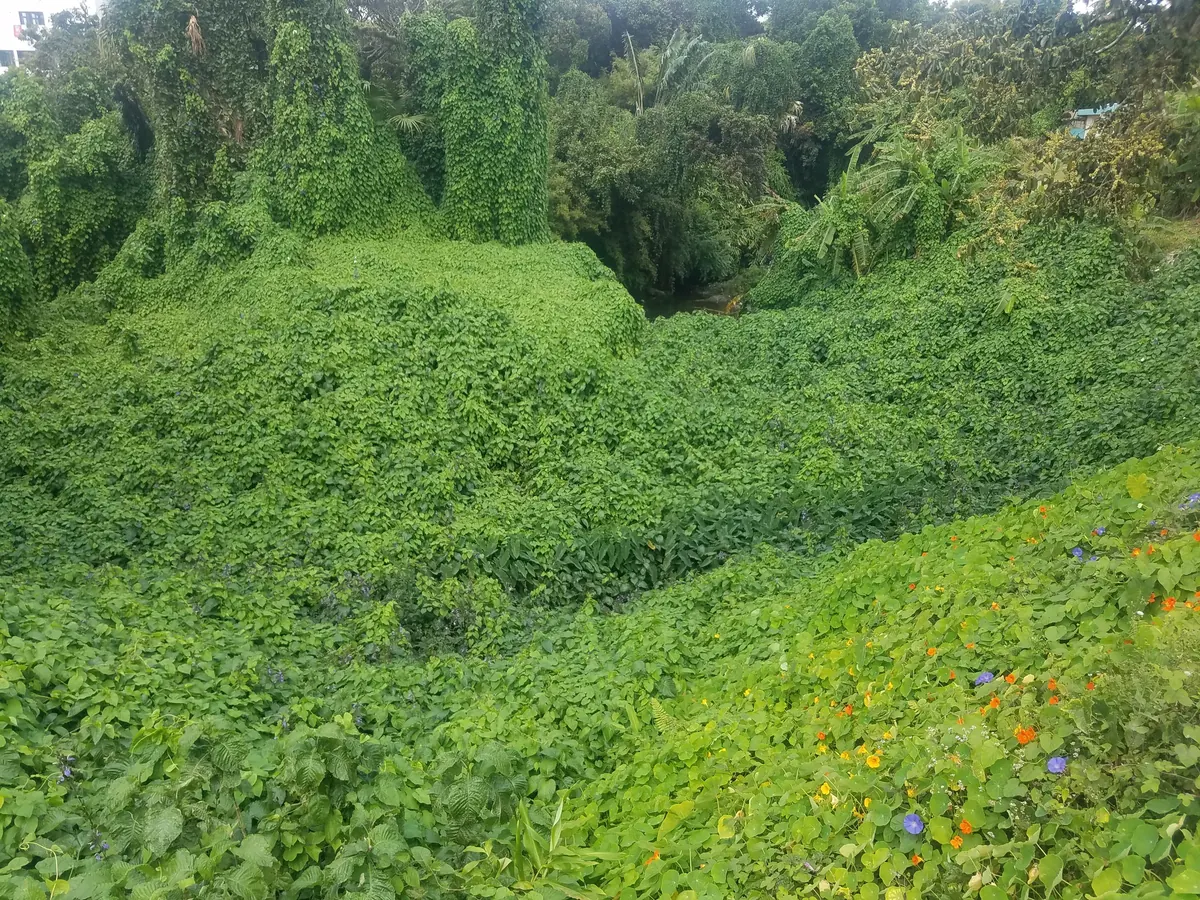 Humidity in MauritiusFigures by region, health and solutions→
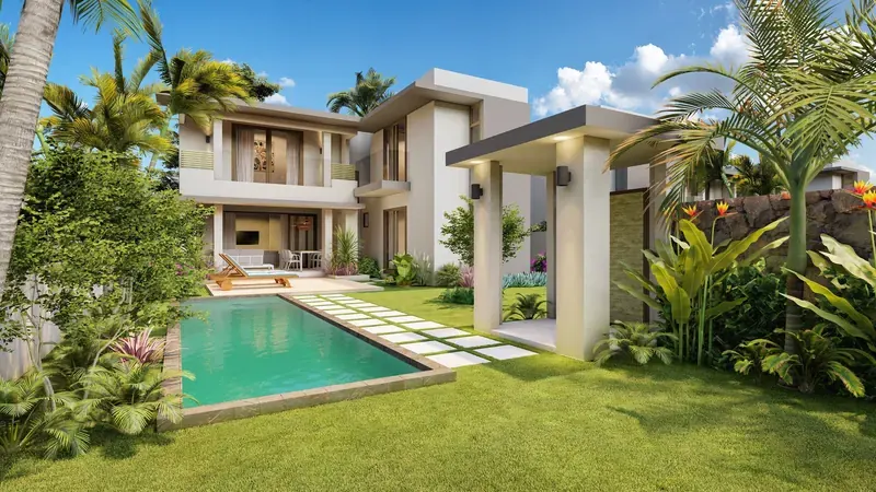 Living in Mauritius with childrenWhich area to choose and why→
 Port-Louis, Grand Baie or TamarinMarket benchmarks according to your profile→
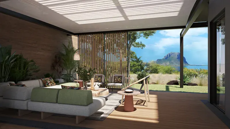 Living in MauritiusThe guide to settling in→
12 Sources & methodology
Reliable, up-to-date information
Every figure comes from an official source cited in the site article that details it.
Westimmo“Living in…” articlesMMSMauritius Meteorological ServicesCSO2022 censusEDBPurchase regimes
- “Living in…” articles on real-estate-mauritius.mu, reviewed on 9 November 2026
- Mauritius Meteorological Services (MMS) — climate sheets by station, 1971-2000 averages, used in our articles on humidity and cyclones
- Central Statistical Office — 2022 census, village populations, relayed by our area articles
- Land Drainage Authority and the National Disaster Risk Reduction and Management Centre — water accumulation sites, based on our article on cyclones
- Guide Living in Mauritius with children — survey of 17 September 2026 (schools, emergency care, metro)
Population and climate figures are dated as indicated. This guide never gives a figure for the current stock or the prices of our listings: consult the zone pages for the current offering.
13 Frequently asked questions
Your questions about choosing a neighbourhood
Short answers, drawn from the figures in this guide.
Frequently asked questions about choosing where to live in Mauritius
The central plateau is the only area where a child can complete their whole schooling locally, in French as well as in an international programme. The North and the West go up to the International Baccalaureate, with no French lycée and no metro. The East offers only the early primary classes.
The West. The Médine station receives about 780 mm of rain a year, against about 1,350 mm at Pamplemousses in the North and about 2,000 mm at Vacoas on the plateau (1971-2000 averages, Mauritius Meteorological Services).
Very little: five points separate the driest station, Médine at 78%, from the most humid, Vacoas at 83%. Rainfall, on the other hand, varies by a factor of one to two and a half.
There is no official ranking of the coasts. A cyclone does most of its damage through water: wind, rain and sea have to be assessed plot by plot. Before buying, look at the altitude, the drainage and the distance from the shoreline.
Only in certain centres: Grand Baie, Flic en Flac or the plateau towns served by the metro. Elsewhere, a car is essential, for example in Albion, La Preneuse, Belle Mare or Bel Ombre.
Cap Malheureux, a fishing village of 5,740 inhabitants (2022 census), and the coast of Pointe aux Piments and Balaclava, residential and without nightlife. Everyday life takes place at Grand Baie, about ten minutes by car from Cap Malheureux.
Tamarin is lively, geared towards surfing, and is developing its Smart City. Rivière Noire is quieter, around the marina and nature. Albion, further north, is the third option, the least well supplied with shops.
At Cascavelle and Médine, the heart of the Medine group’s Smart City: shopping centre, private hospital, schools, campus and offices within a few minutes. Albion and La Preneuse have neither a commercial centre nor a school.
It is difficult: the only schooling on site that we found is for the early primary classes at Beau Champ. Families send their children to school further away and depend on the car for Flacq and its services.
Le Morne is dominated by luxury IRS-type estates; La Gaulette offers residential villas and more affordable R+2 apartments. It is the fallback market of the peninsula.
Yes. Westimmo compares the areas with you according to school, commute and budget, checks the purchase regime of each property and supports you through to the deed, notary included.
Yes, but without a metro: from the coasts, the trip is made by car or bus, and rush hours have to be endured. The metro links Port-Louis to the central plateau: Quatre Bornes and Rose Hill each have their own Metro Express station.