


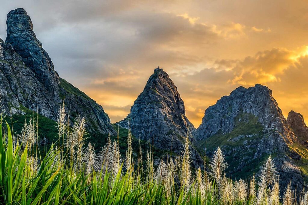
Trail running in Mauritius: the Dodo Trail and where to train
The Dodo Trail, a UTMB World Series race, and the Mauritian trails to train on all year: ascents, season, and what a tropical climate changes for a runner.
Mauritius does not spontaneously bring trail running to mind. It is nonetheless a serious playing field: 828 metres at its highest point, slopes that climb from the sea to a summit in less than two kilometres, and a race on the UTMB World Series calendar.
The Dodo Trail
This is the reference event. The Dodo Trail is run in the south-west of the island, between Le Morne and Tamarin, and celebrates its fourteenth edition in 2026, on Saturdays 4 and 11 July. It is organised by IBL Together and forms part of the UTMB World Series. Its name refers to the island’s emblematic bird, extinct since the 17th century: see what we know about the dodo.
Six formats coexist, from discovery to ultra:
- Xtreme — 50 km and 3,500 m of ascent, technical and demanding
- Trooper — 25 km and 1,500 m of ascent
- Venture — 10 km and 500 m of ascent
- Rookie — 5 km and 50 m of ascent, open to all
- Morne Dash — a straight climb of Le Morne Brabant
- Squad — the relay race for teams of four
The choice of July is no accident: it is the heart of the austral winter, the only period in which running 3,500 metres of ascent at these latitudes stays reasonable.
Where to train all year
Mauritian trails lend themselves well to training, provided you choose according to what you are after.
For pure ascent
Corps de Garde is the benchmark of the central plateau: 7.2 kilometres as a loop for 633 metres of ascent, on a slope that bites from the first metres and barely lets up. Three hours walking, considerably less running. The path is marked with white stones up to the ridge, and there is almost no shade — a start before 8 am is essential.
La Tourelle de Tamarin offers the opposite profile and is every bit as brutal: 560 metres of ascent over 4.4 kilometres round trip, less than a kilometre from the coast. Fixed ropes equip the steps — this is a training ground, not a route you time.
For volume and shade
The Black River Gorges make up the largest trail network on the island, entirely free. The Macchabée trail, some ten kilometres of shaded high-altitude forest, is the best volume-to-coolness ratio in the country. The Pétrin–Black River crossing, around 800 metres of descent, is run in that direction and never the other way.
One thing to know: the park gates close at 5 pm, vehicles included. A long session is planned around that constraint, not the reverse.
Black River Peak deserves a mention for a rarely noted reason: the route is in shade for nearly four kilometres, and only the last two hundred metres come out in full sun. The actual ascent is modest — around 150 metres, as the path already starts at 680 metres — but the ground is greasy and root-strewn. This is the session where you work on footing, not speed.
For hill repeats
Signal Mountain, above Port Louis, is a tarmac road closed to traffic that climbs to 323 metres. With no technical difficulty and no navigation problem, it is ideal ground for hill intervals — and it is very popular with local runners at the end of the day.
Le Pouce, on the same range, adds 812 metres of altitude over 3.8 kilometres round trip, with a waymarked path and a short rock step at the summit.
What the tropical climate changes
The season. The austral winter, from May to November, brings the right conditions: dry air, 20 to 25 °C, stable trails. In summer, you run at dawn or not at all.
Hydration. There is no water point on Mauritian trails. On exposed slopes such as Corps de Garde or La Tourelle, two litres per person is not excessive.
Wet rock. After rain, several grounds become unrunnable: the clay of Lion Mountain holds moisture far longer than rock, and the steps on the Trois Mamelles become dangerous as soon as they are damp.
Night without dusk. It falls in about twenty minutes, between 5.45 pm and 7 pm depending on the season. A head torch changes an end-of-day session.
Living near your training grounds
This is an argument runners understand immediately: from Tamarin, La Tourelle can be climbed before work. From Black River, you reach the gorges and the island’s highest point without touching the motorway. It is also the region where the Dodo Trail is run.
Frequently asked questions
What is the main trail race in Mauritius?
The Dodo Trail, in the south-west between Le Morne and Tamarin, fourteenth edition in July 2026. It forms part of the UTMB World Series and offers formats from 5 to 50 kilometres.
What is the biggest runnable ascent in Mauritius?
The Xtreme format of the Dodo Trail totals 3,500 metres of ascent over 50 kilometres. In training, Corps de Garde offers 633 metres on a 7.2-kilometre loop.
Can you run all year in Mauritius?
Yes, but the austral winter, from May to November, brings the best conditions. In summer, sessions are run at dawn and clay ground is avoided after rain.
Are there water points on Mauritian trails?
None. Set off with all your water, including on the busiest trails.
The detail of every trail — distance, ascent, nature of the ground and access conditions — is set out in our guide to the 15 best hikes in Mauritius.
Planning a property project?
Let’s talk about your project in Mauritius
Westimmo guides you through the analysis, selection and securing of your property project in Mauritius.